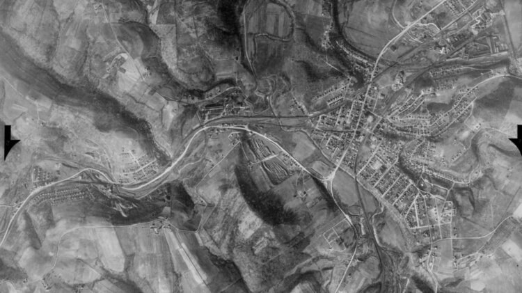
If you’re into history, you might enjoy this online archive of thousands of aerial photos taken over Pennsylvania between 1937 and 1972.
It’s part of the Penn Pilot project, sponsored by the Pennsylvania Geological Survey. The photos were produced by the United States Department of Agriculture, Agricultural Adjustment Administration (now known as the Farm Service Agency).
John Oyler and the Bridgeville Area Historical Society used some of the photos in a recent Second Tuesday presentation about Bridgeville’s Greenwood neighborhood. You can read more about that in the Bridgeville Area News.